Location, airspace, timing, priorities, and final uses are clarified before launch.

Aerial intelligence + visual production
Every project deserves
the right perspective.
From cinematic movement to repeatable site documentation, Drone Jax shapes each flight around what your audience needs to see, understand, or decide.
Jacksonville + the SoutheastFAA-compliant operations
Choose your view
Explore what
we capture.
Select a capability to see how the imagery supports marketing, storytelling, field decisions, and long-term project visibility.
Built to stop the scroll
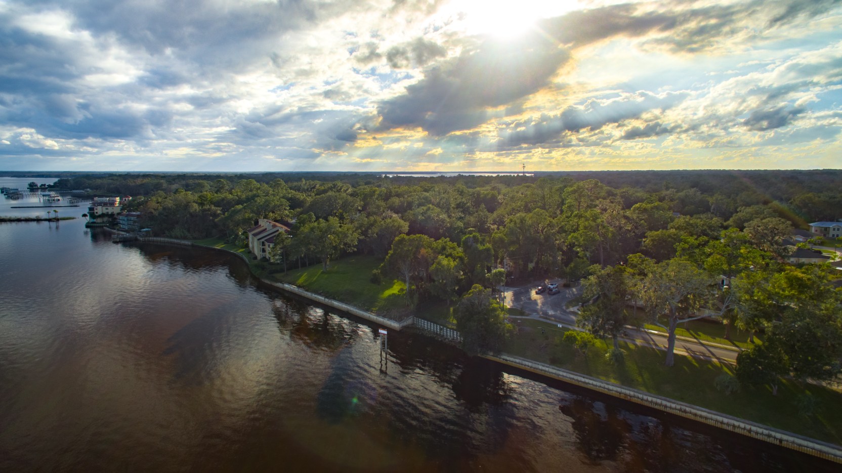
Aerial photography
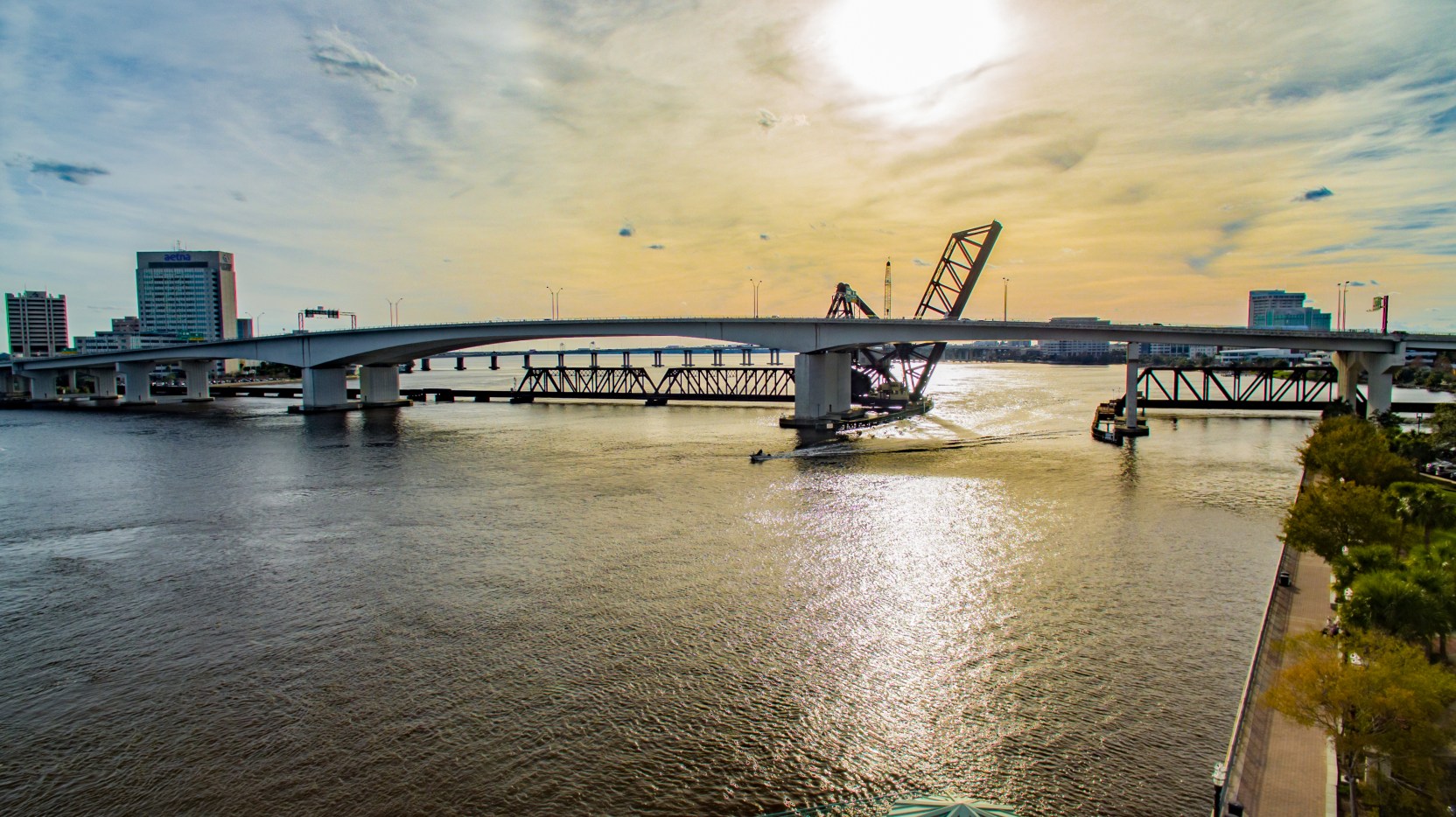
High-resolution stills that reveal scale, setting, access, amenities, and context in a single frame. Ideal for commercial properties, destinations, hospitality, real estate, and brand campaigns.
- Web and campaign-ready files
- Hero imagery and full property coverage
- Golden-hour and twilight capture

Movement with intention
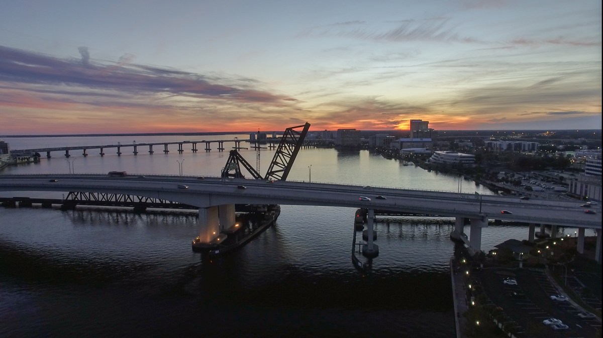
Cinematic video
Purpose-built flight paths, ground coverage, and polished editing turn a property or place into a visual story. Deliverables are shaped for websites, social campaigns, presentations, and broadcast.
- 4K aerial and ground capture
- Shot planning and creative direction
- Editing, color, pacing, and delivery

Make change visible
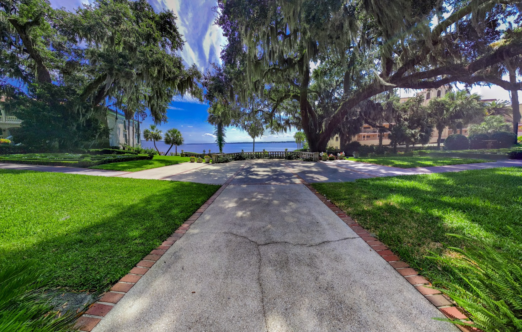
Project progress
Repeatable aerial documentation gives owners, contractors, investors, and remote stakeholders a shared view of what changed, what is complete, and what comes next.
- Consistent flight paths and vantage points
- Organized milestone image libraries
- Stakeholder-ready photo and video updates
See more without the climb
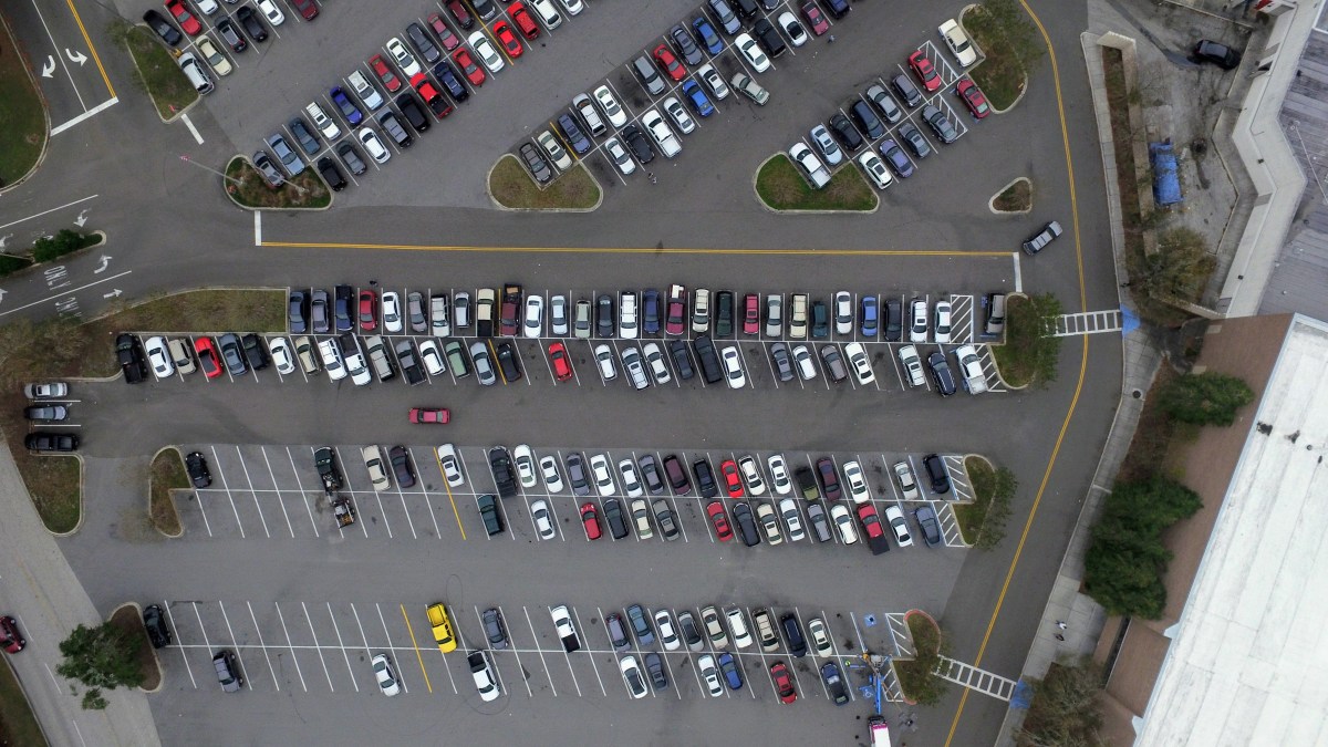
Mapping + inspection
Structured aerial capture provides safer visual access and useful spatial context for roofs, structures, parking, land, storm impacts, and hard-to-reach assets.
- Organized high-detail visual records
- Orthomosaic and site-overview capture
- Custom coverage for review teams
Start with the outcome
What do you need
the imagery to do?
From brief to delivery
A focused flight.
A useful result.
The shot list and flight path are built around the coverage the project actually needs.
Organized, polished files arrive sized and structured for the way your team will use them.
Tell us what you need to see