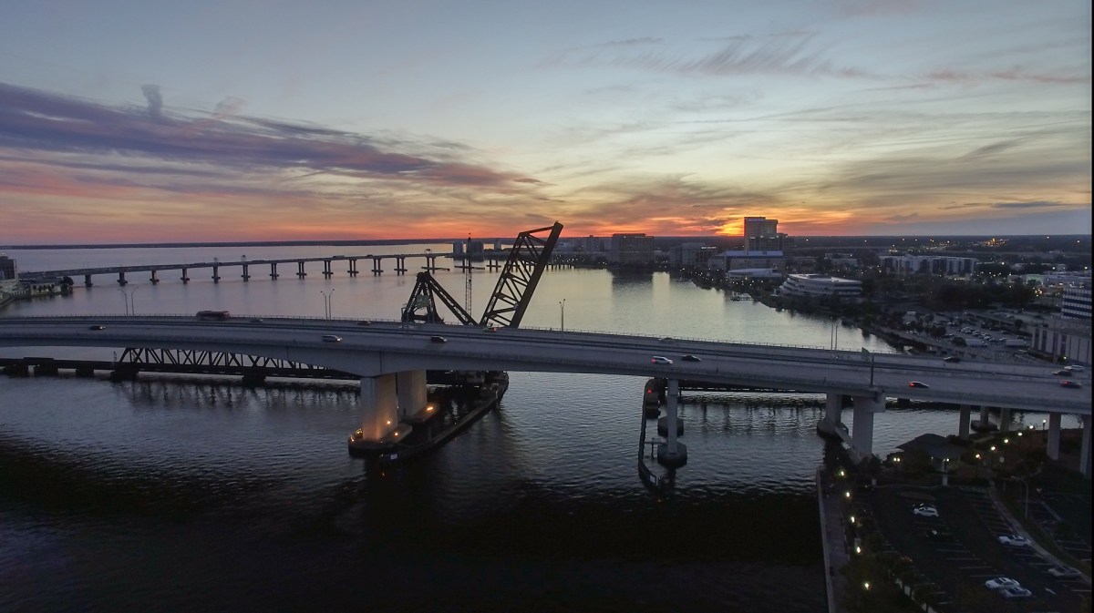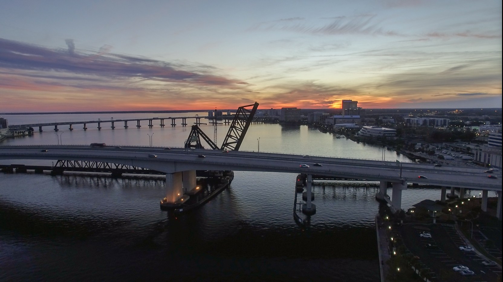
Jacksonville skyline photographed from the air

Selected missions

A view with
a job to do.

Real Drone Jax imagery across cinematic production, commercial property, hospitality, destination, mapping, and inspection work.

Jacksonville + the SoutheastPhoto · Motion · Intelligence

The work

Perspective
changes the
story.

From a single hero frame to a repeatable visual program, each mission is shaped around what the image needs to communicate—not simply how high the drone can fly.
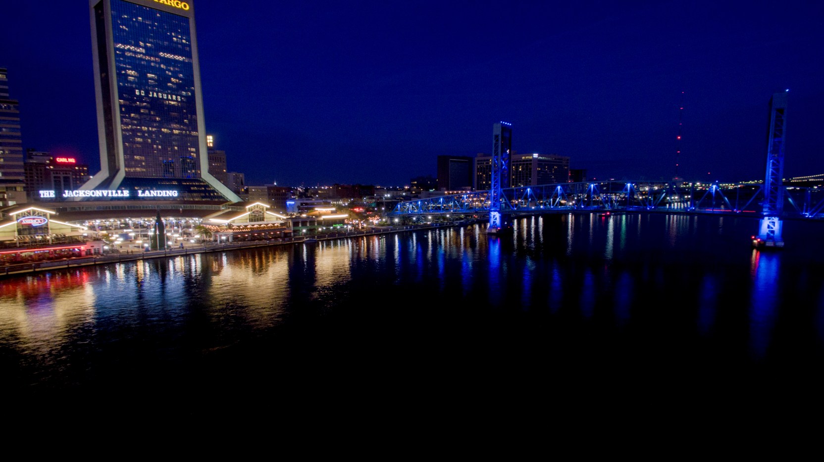
Downtown Jacksonville illuminated in blue at night
Cinematic + motionJacksonville after dark
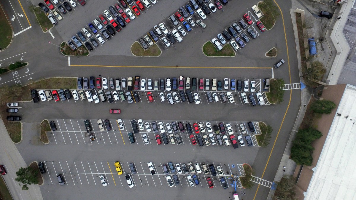
Commercial parking area documented from directly above
Commercial intelligencePattern, access, context
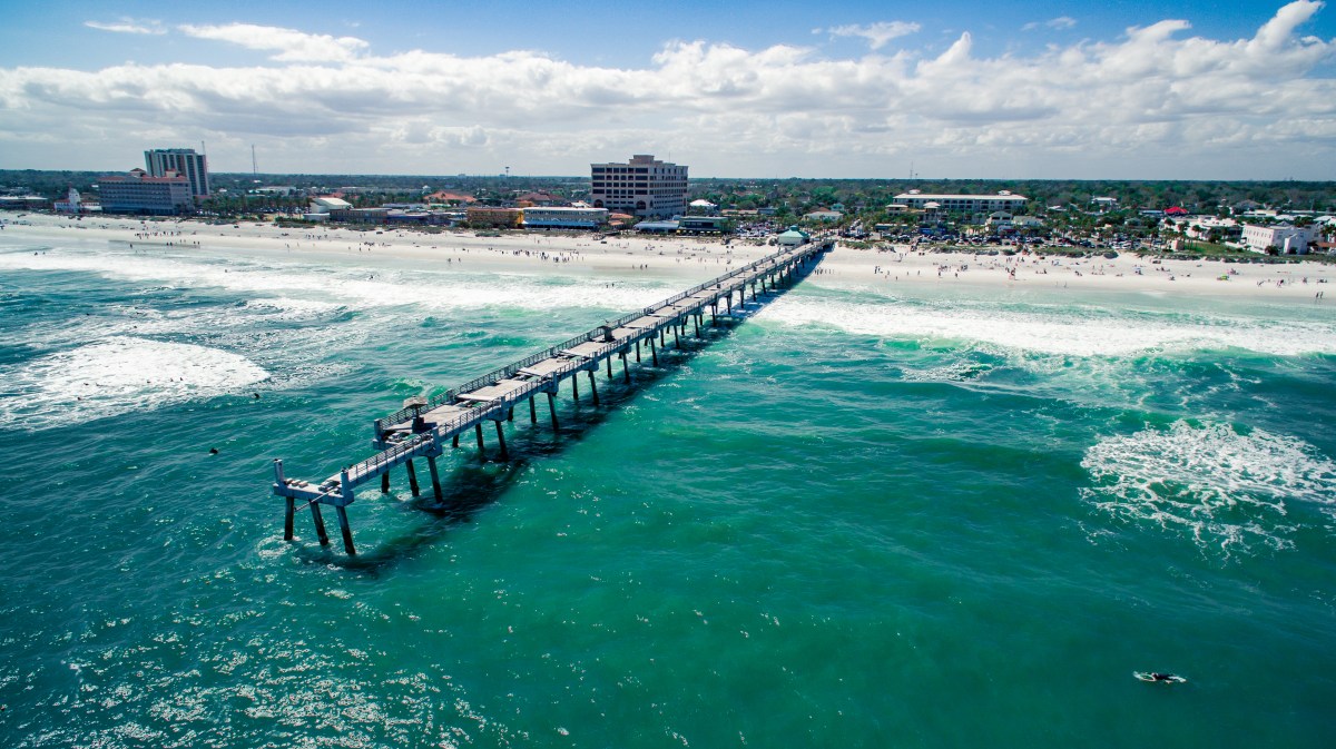
Jacksonville Beach Pier and coastline from above
DestinationCoast + place
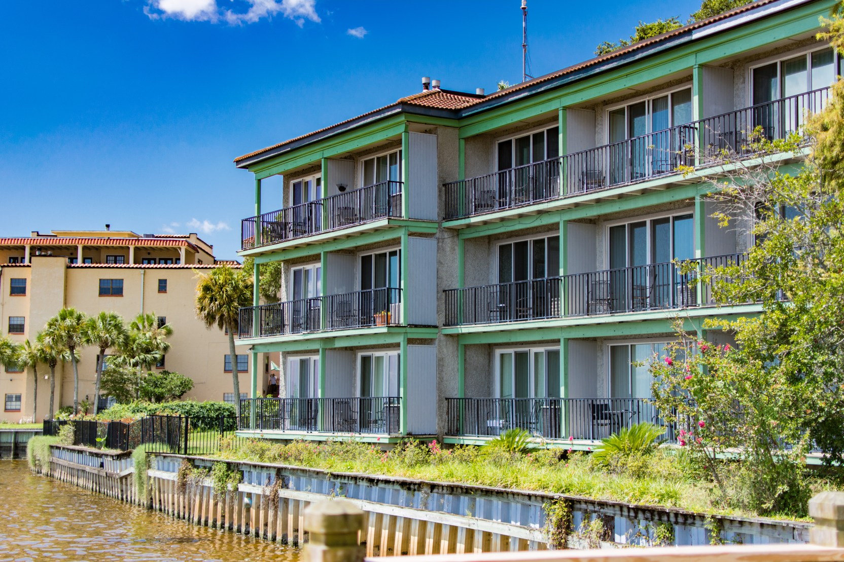
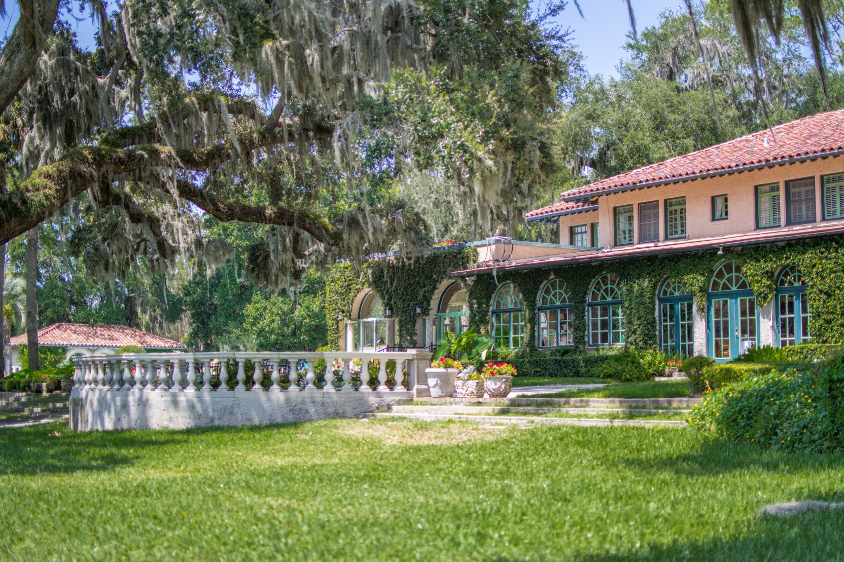
Aerial view of a waterfront club and pool
Hospitality + propertyWaterfront experience
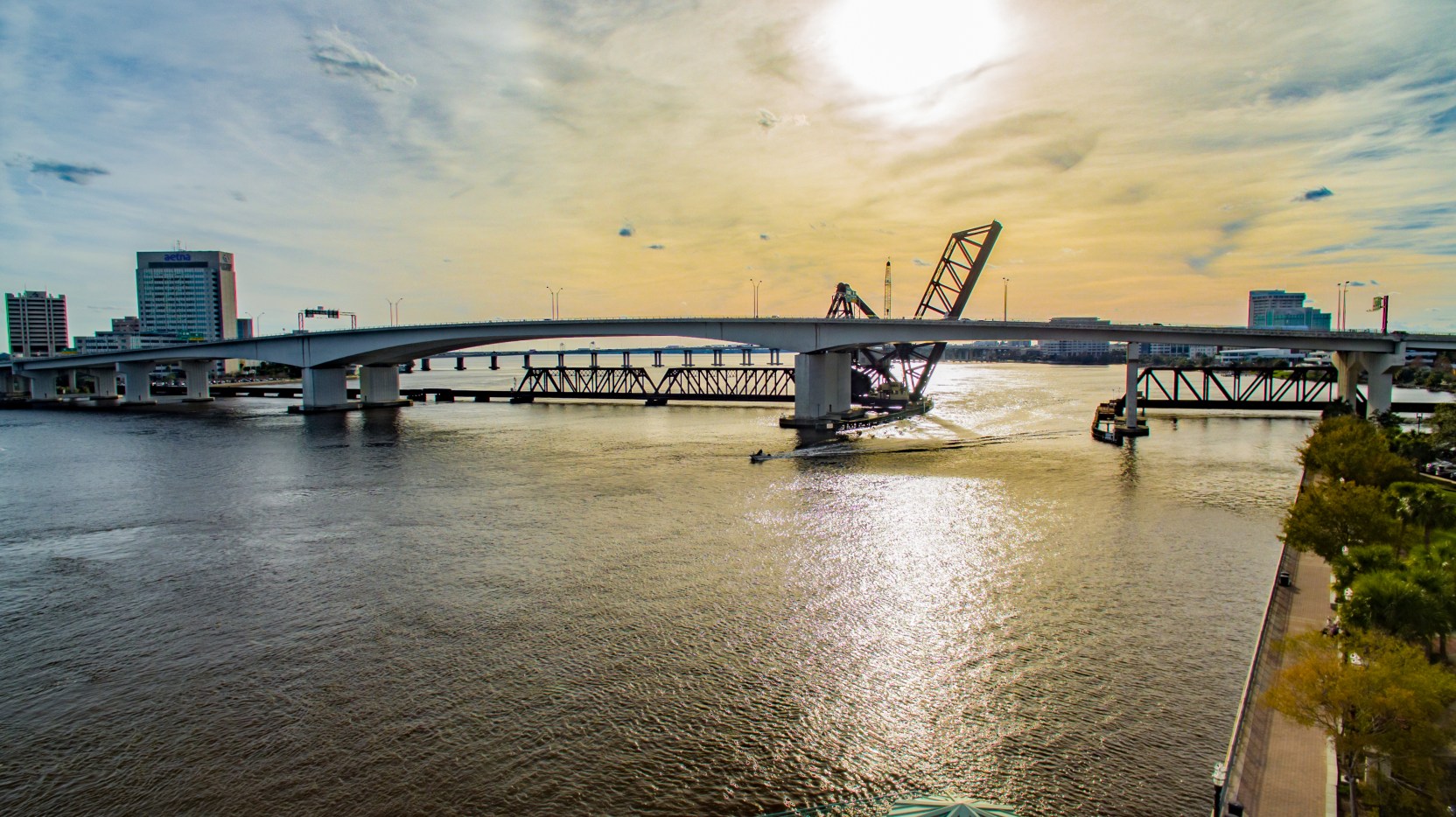
Jacksonville skyline in warm sunset light
City + infrastructureGolden-hour context
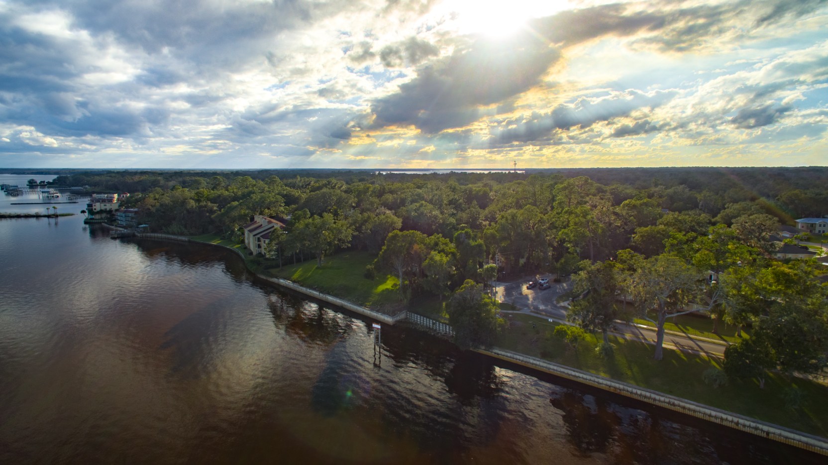
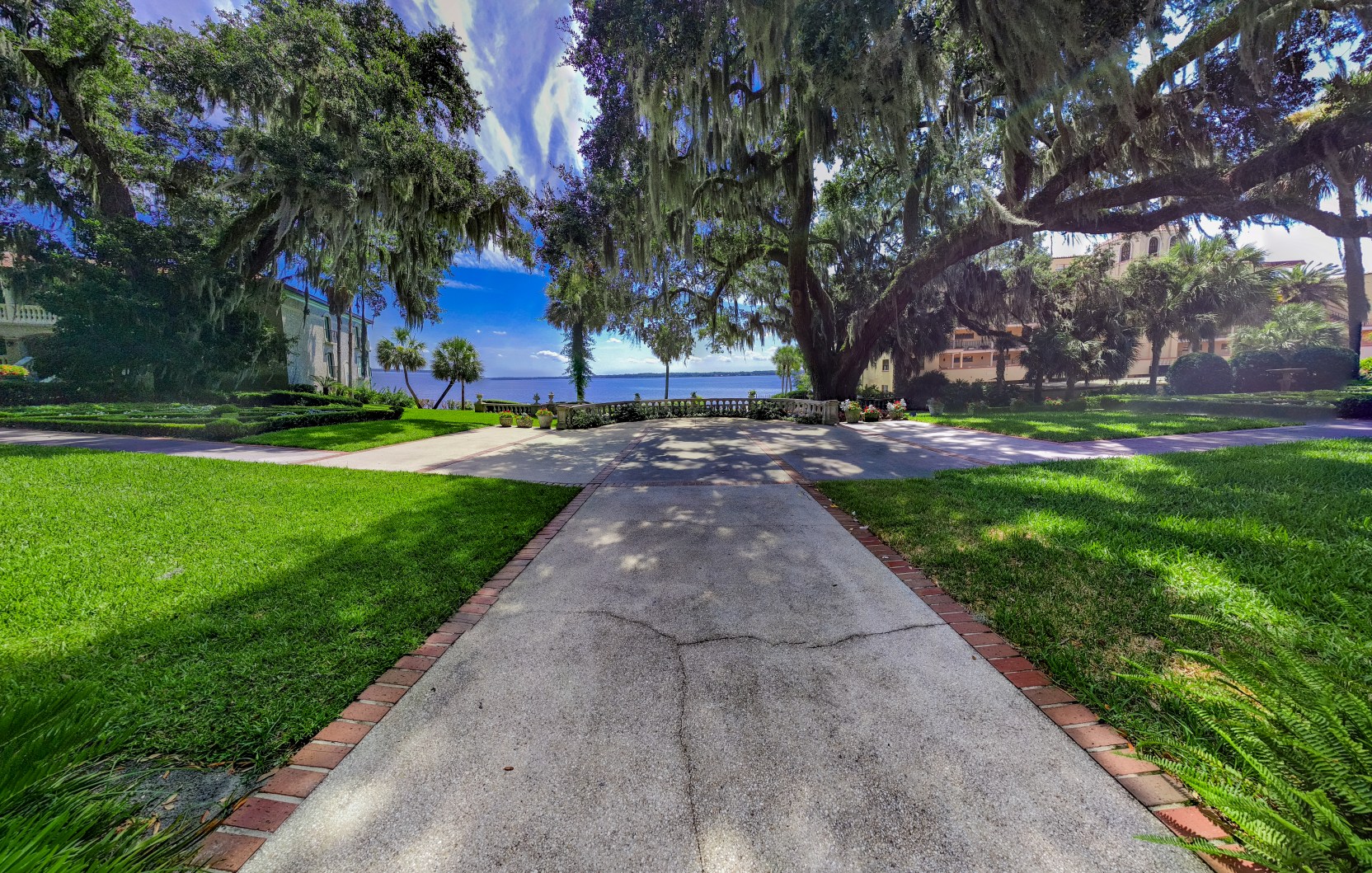
Waterfront property and surrounding river from above
Property contextSite and surroundings

Motion from above

Scale needs
movement.

Cinematic flight paths give properties, places, and live moments a sense of geography and emotion that a still frame cannot carry alone.

Explore video services
Downtown Jacksonville and the river viewed from the air
Infrastructure context
Wide aerial documentation of a waterfront property
Repeatable site coverage
Acosta Bridge at sunset
Jacksonville in motion

Have a view
worth capturing?

Tell us what you need to market, document, measure, or communicate. We’ll build the right flight around it.

Plan a project