Construction progress
Consistent aerial documentation that helps owners, contractors, and stakeholders see change over time.
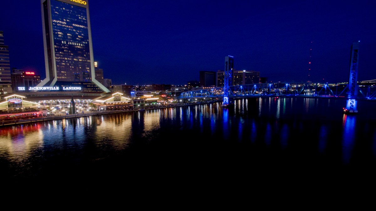
FAA-compliant aerial operations · Jacksonville, FL
Aerial imagery, cinematic production, mapping, and inspection data—captured safely and shaped into decisions.
Capabilities
Drone Jax combines experienced flight operations with creative direction and practical data capture for properties, infrastructure, brands, and events.
High-resolution stills and polished motion for real estate, tourism, construction, events, and brand campaigns.
↗Repeatable site capture for orthomosaics, progress documentation, measurements, and 2D or 3D deliverables.
↗Safer visual access to roofs, structures, storm damage, and hard-to-reach assets—with organized imagery your team can use.
↗Purpose-built flight paths, ground coverage, and post-production that turn locations and live moments into visual stories.
↗Aerial intelligence
Every mission starts with the question your team needs answered—not the equipment we want to fly.
Consistent aerial documentation that helps owners, contractors, and stakeholders see change over time.
Context-rich imagery for site planning, marketing, due diligence, and portfolio reporting.
Detailed visual capture that reduces unnecessary access and keeps the review focused.
Repeat missions, specialized deliverables, and coordinated production for organizations with evolving needs.
Motion from above
Cinematic movement gives properties, places, and live moments a sense of scale that ground coverage cannot.
The flight plan
We clarify the location, outcome, airspace, timing, and final deliverables before launch.
The flight plan is built for the shots, coverage, measurements, or repeatability the project requires.
You receive organized, polished files sized and structured for the way your team will actually use them.
Selected missions
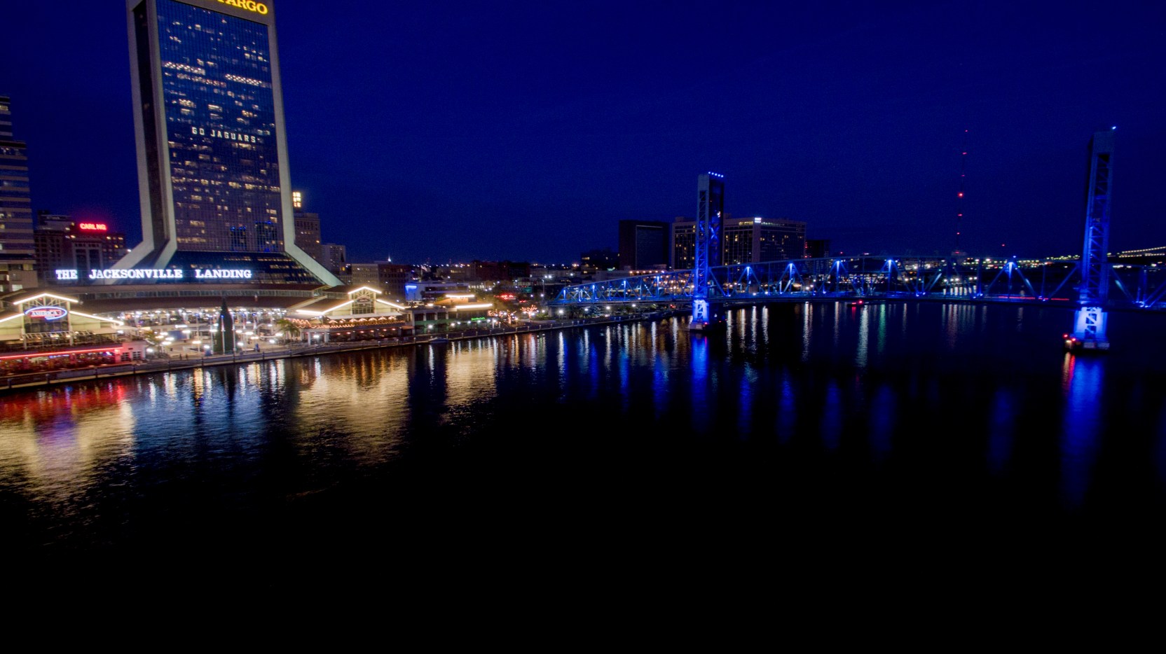
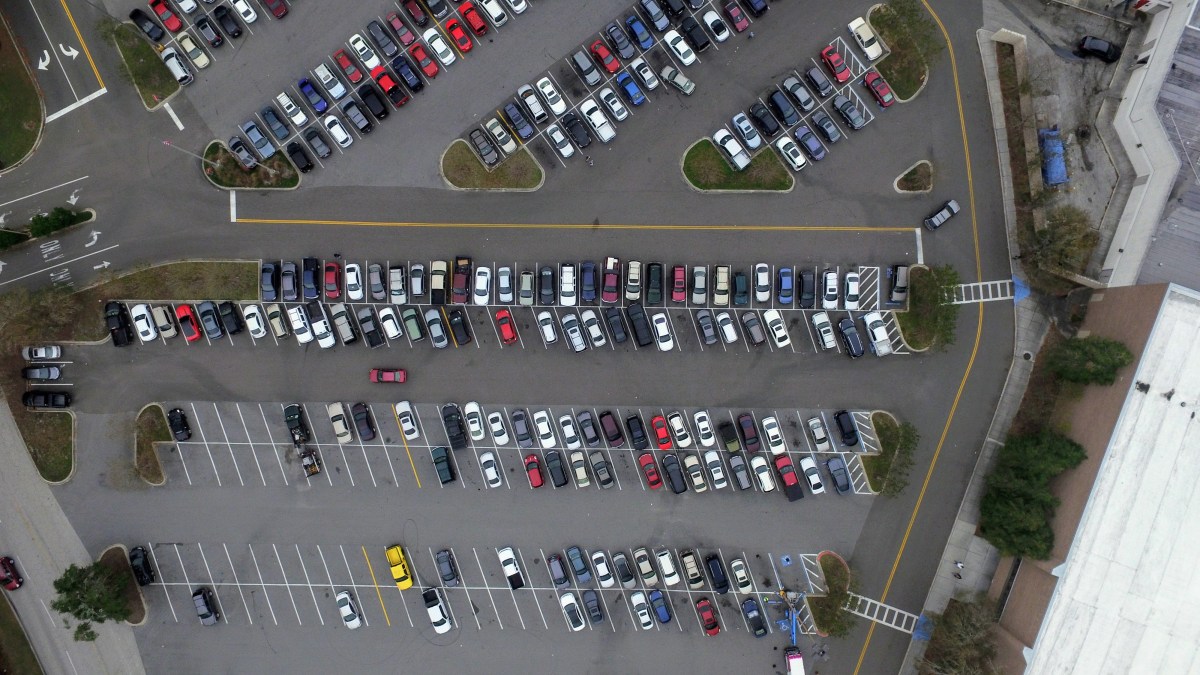
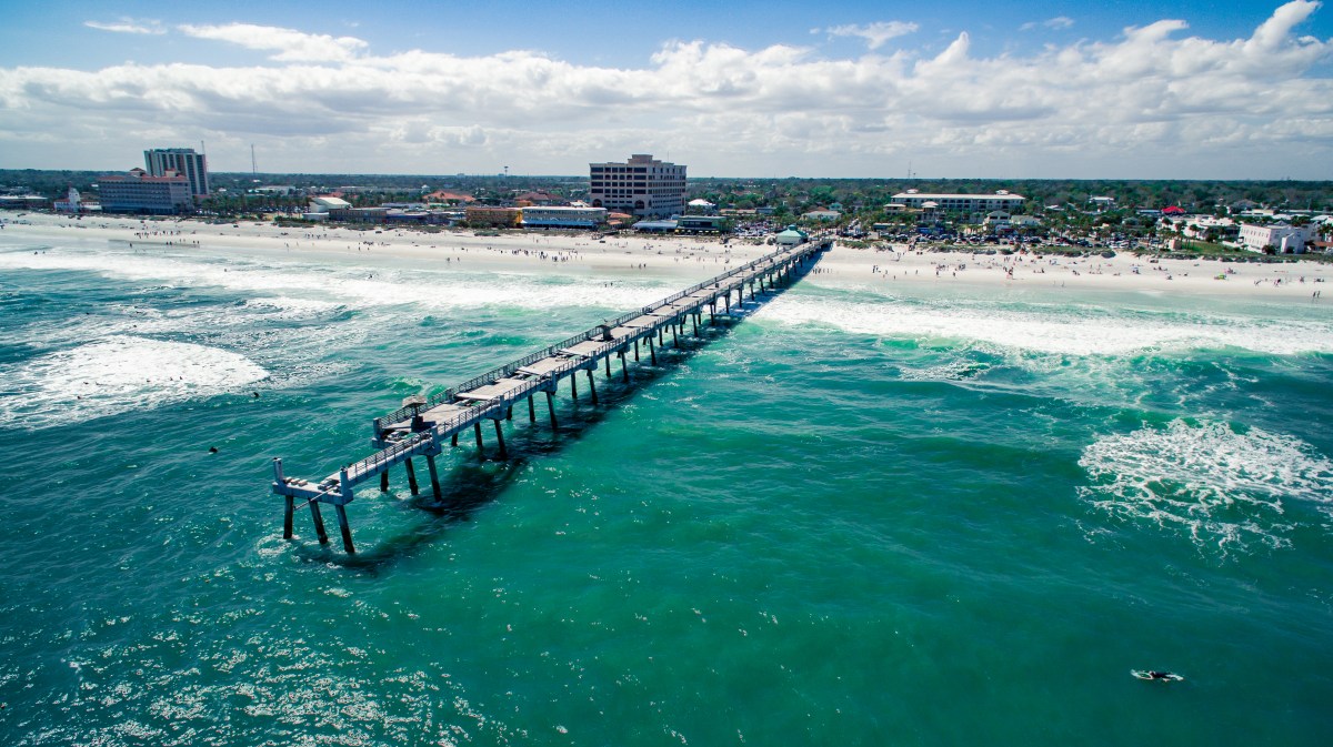
Explore real Drone Jax imagery across cinematic production, commercial intelligence, property, destination, mapping, and inspection work.
Tell us what you need to see, document, measure, or communicate. We’ll shape the mission around it.
Discuss your project